 If you come to Travelling Folk's Song
and Ale weekend at Upper
Dicker, East Sussex, you will find we arrange a 70-minute walk on the Saturday morning for you at about a quarter to ten. There are three possible walks; this is one of them - the others are listed at the bottom of this page.
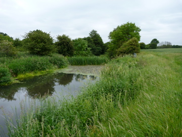 This walk is the best for panoramic views. At the start we will be able to see northwards to the high weald but soon turn south and have a magnificent view of the South Downs as we walk downhill southwards. We will find ourselves walking beside the Cuckmere and if the reeds are not too thick we will catch glimpses of the river on our way, including lilies and a weir.
There are usually five or six stiles. There are hardly any brambles or stinging nettles, but be prepared for some when we cross streams. There are only two short sections of path that can get muddy after rain but these can be easily avoided.
In order to return in time for singing at noon, we have to turn back by 11:30 which is usually at Sessingham Bridge. If you carry on alone to the reservoir beyond, there is a chance you may see ospreys. Come with us and see what we shall see.
Route details
1. We walk south from Upper Dicker along the road, past the village shop, cross the road at the traffic lights and continue in the same direction past St Bede's School. You will find the pavement runs out at The Plough public house.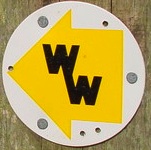 2. Cross the road when it is safe to do so and continue in the same direction along the the road verge; look for a Footpath sign about 20 metres further on.
3. Take the footpath on the left, which follows the WealdWay.


4. The footpath has a stile part-way along it and another stile at the end.
 5. Keep to the right-hand edge of the golf or playing field, past the interesting mound retained by stone walling, and continue to the corner of the field. Here is the third stile.
While waiting for people to cross the stile, you can look northwards (left) and admire the view of the weald (shown here on the left).
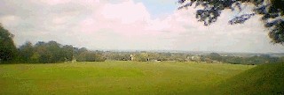
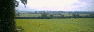 6. A few paces after after crossing the stile, you will find yourself at the top of a field with a magnificent view of the South Downs in the distance (shown here on the right).
7. Enjoying the wonderful view ahead, continue in a southerly direction along the WealdWay towards the downs until you come to a road.
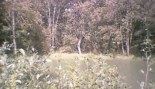 8. Before crossing the road at the end of the field, stop to have a look on the left for a small pond (shown here on the left) which belongs to Parkwood Farm.
9. Cross the road and turn left along it a few paces past Parkwood Farm Cottages to find our fourth stile on the right. Before climbing the stile, see if you can use the farm gate beside it. Looking at the downs from here, slightly to our left, you may be able to make out the chalk figure of the Long Man of Wilmington.
The Wealdway continues towards the Downs.
10. Cross the meadow, still heading towards the downs, to a gap in the hedging. Before climbing the (fifth) stile, see if you can use the farm gate beside it.
11. Cross a second, larger field, where there may be cattle, to a gap in the hedging. Before climbing the (fifth or sixth) stile, see if you can use the gate beside it.
12. Cross a third field corner to a gap in the hedge which turns out to be a small wooden bridge over a stream, leading to a field of ripening corn. The WealdWay is shown as straight ahead, through this field, but it is much more pleasant to follow the path around the edge. (We can take the route through the corn on the way back.)
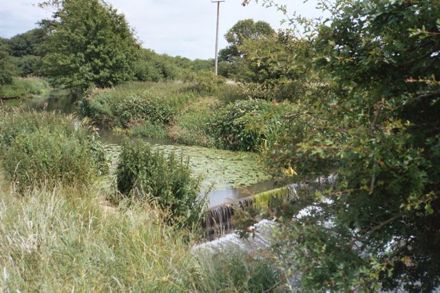 11. Turn left to go round the cornfield and follow the stream we have just crossed; continue round to the right when the steam joins another. We will catch glimpses of the river as we walk and we might see water-lilies or the weir (shown right).
12. Before reaching the end of the cornfield, at a point where the path turns sharply left, we will find the southern end of the Wealdway path through the cornfield. We will pause here to make sure we will recognise the path on the way back, and to make sure we have enough time to do the last stretch.
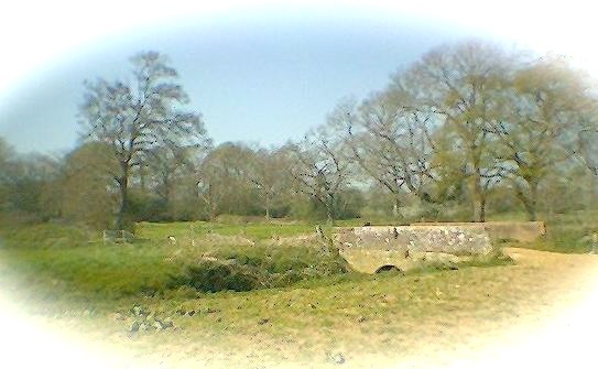
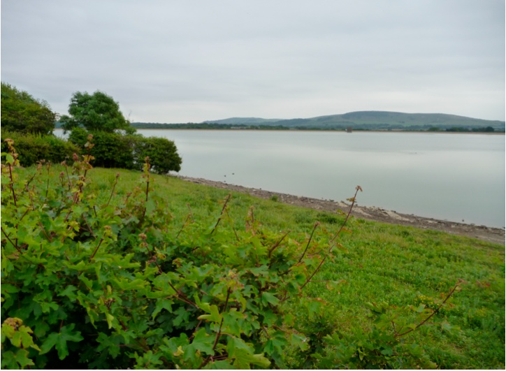
 13. If we have fifteen minutes to spare we will continue south along the WealdWay to the Sessingham Bridge (shown here on the left) over the Cuckmere. Look out for martins on the way!
The bridge, reached by a stile or two, is a junction of the north-south Wealdway, an east-west bridleway and other paths.
After we have paused to enjoy the bridge and its immediate environs, I will lead our group back to the lunchtime sing in Upper Dicker village Hall.
Returning to Upper Dicker
From Sessingham Bridge, return in a northerly direction keeping the Cuckmere and its tributary stream on our right. When the river path turns sharply right (as at step 12 above), our path leads straight through the cornfield ahead and below a pylon standing as a convenient landmark.Cross the bridge and continue in more or less in a straight line to the road.
Dog-leg left then right for the last uphill climb and say goodbye to the downs.
Cross the stile and at the golf course turn left towards Coldharbour Road.
At Coldharbour Road, turn right. Pass St Bede's school, the village shop cafe and the church, to the village hall for the singing.
Adding a Circular Walk beyond Sessingham Bridge and around the Reservoir
If you would like to continue walking without the group, be sure to aim for Sessingham Bridge when you make your way back; there is no better route back to Upper Dicker than from here. Sessingham Bridge is a junction of Wealdway, bridleway and other paths, and can be seen on the OS map between Sessingham Farm and Raylands Farm, north-east of Arlington Reservoir and just south of a moat.I suggest the following route which takes in Arlington reservoir and village:
 SR1. From Sessingham Bridge, head east along one of the two parallel paths ... the left-hand path goes along the sunny northern edge of a field and the right-hand paths goes alongside it through a shady wooded area between the left-hand path and another field. The paths merge at the far corner of the field.
SR2. Turn left at this north-east field corner, taking care not to trespass among the Sessingham Farm buildings to the east.
SR3. Continue SE along the bridleway towards the Arlington Reservoir. A grassy walk with camomile underfoot leads to a wooded area around the western edge of the reservoir.
SR4. Follow the path that encircles Arlington Reservoir anti-clockwise.
SR5. Where the path leaves the water's edge you can head for the ancient church at Arlington village, which is certainly worth a look.
 SR6. After exploring the church, the village, and perhaps even the Yew Tree Inn, go through the hedge in the north-east corner of the churchyard. Head north past the pylon (onto the Wealdway once again) back to Sessingham bridge.
SR7. From Sessingham Bridge, return to Upper Dicker as described above.
